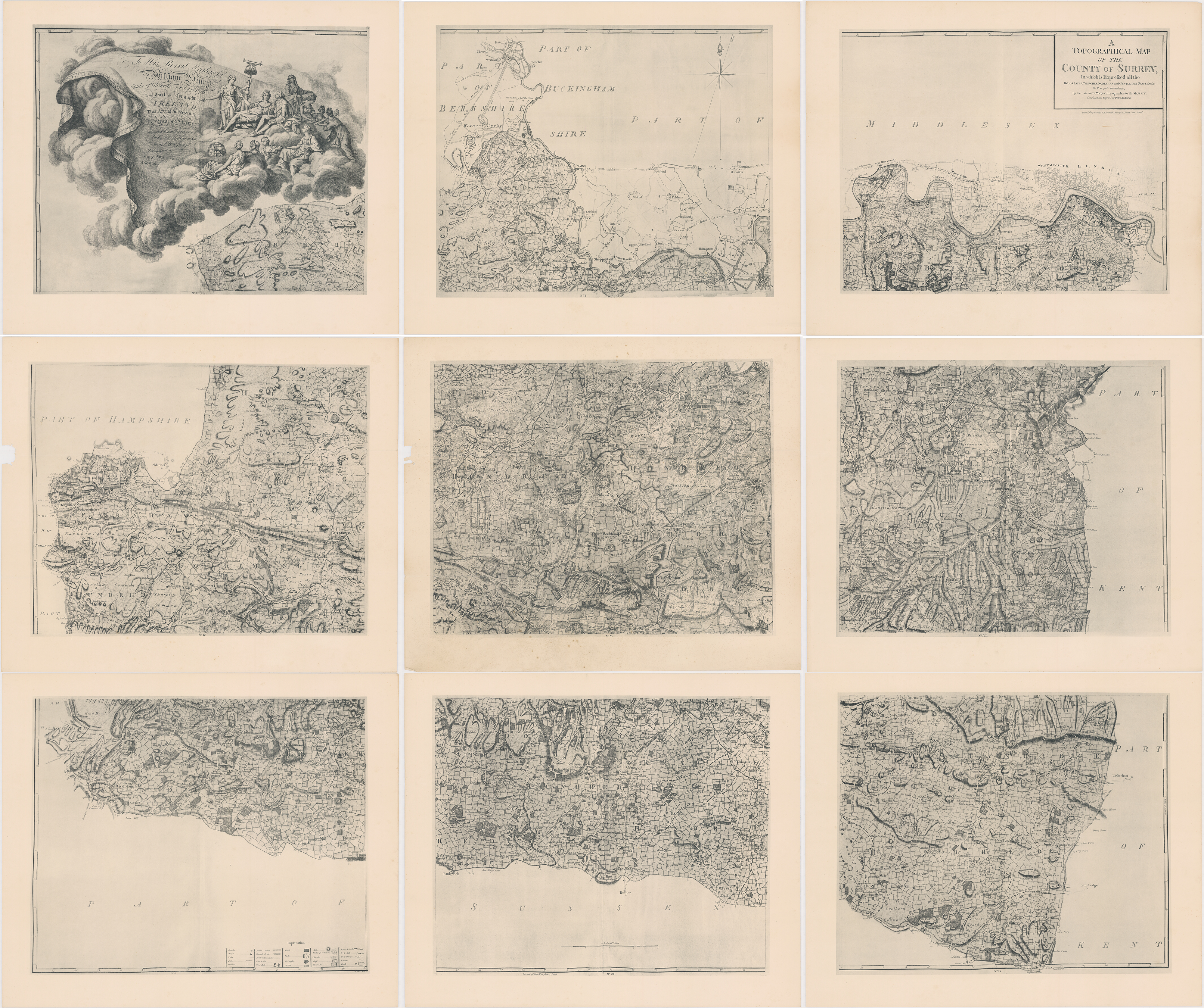
The contribution of the Huguenot surveyor and engraver John Rocque (1704–1762) to English cartography was significant. In addition to two historically important maps of London, for which he is arguably most famous, he produced this fine survey of Surrey, which Mary Ann Rocque, his wife, published in 1784.
Surrey, sublimely detailed
Expand & Explore map →
File size: 25 MB / Dimensions: 4000 by 3347 pixel
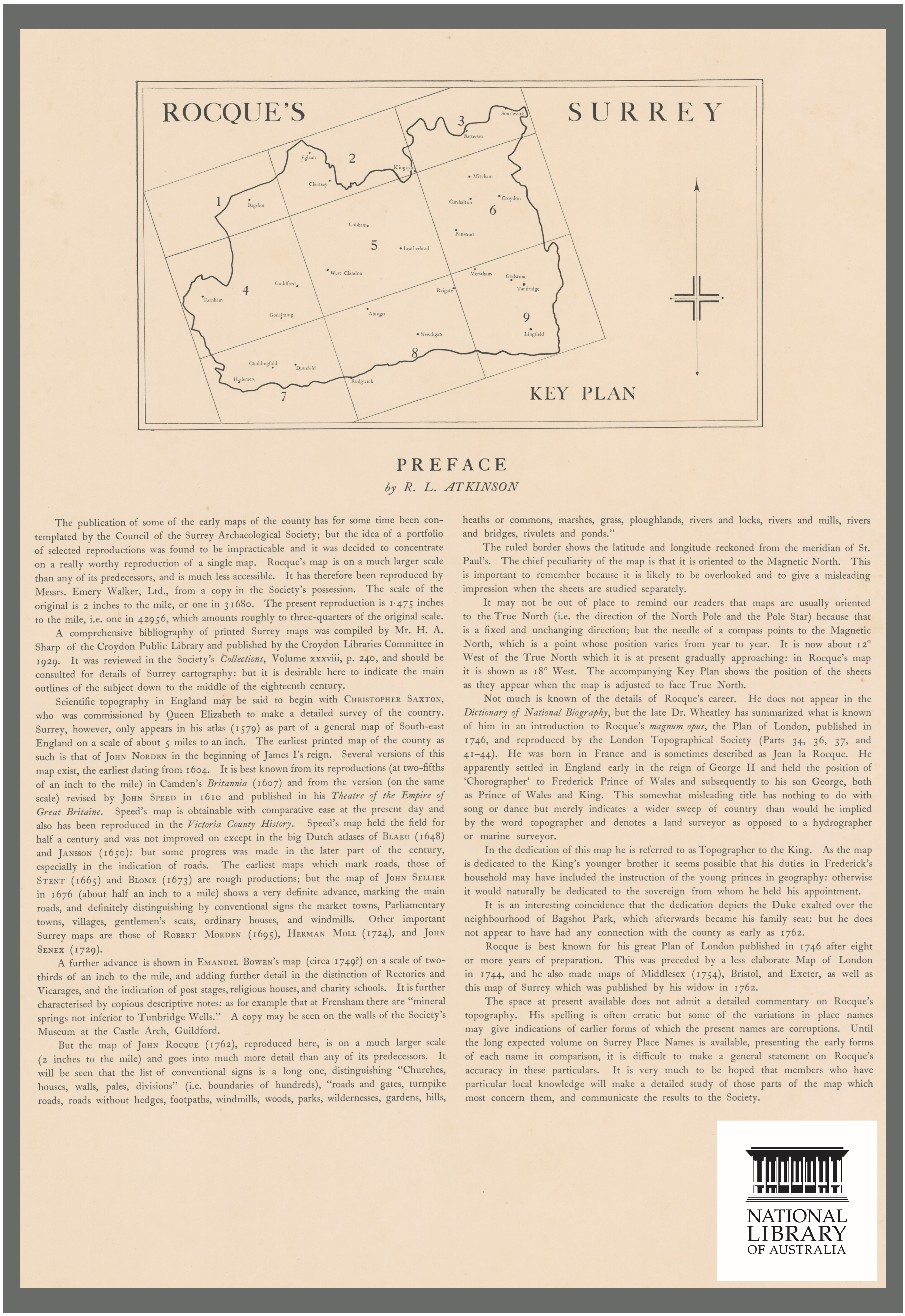
The Map’s key plan

John Rocque was born in France in about 1704 and shortly after along with his Huguenot family fled first to Geneva, and then, probably in 1709, to England. The Surrey map was published by his widow, Mary Ann Rocque, who inherited the business upon Rocque’s death and ran it successfully for some time after: the widows of members of the Stationer’s Company in England were allowed to retain guild membership for life.
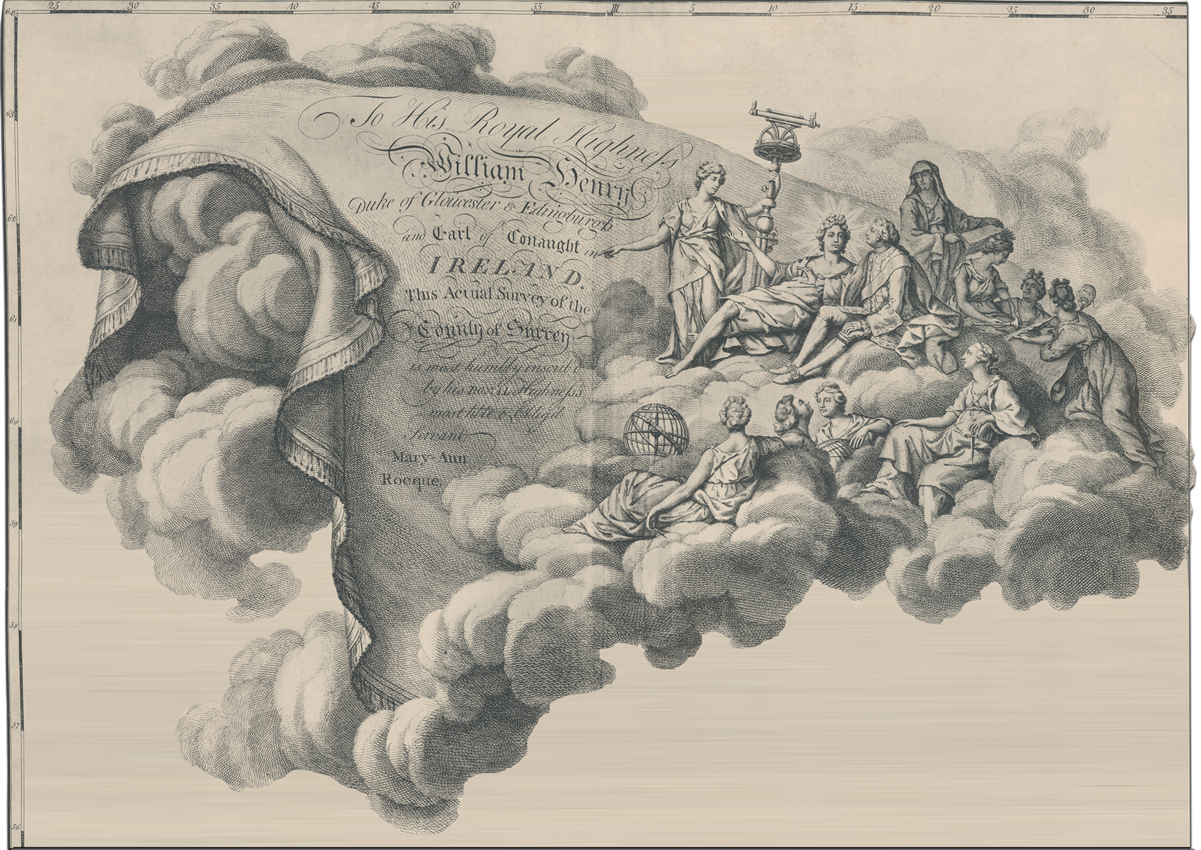
The Map’s dedication
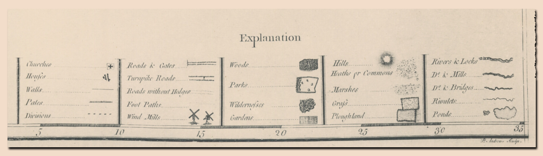
The map’s cation above reads:
Mary Ann Rocque
To His Royal Highness William Henry Duke of Gloucester & Edinburgh and Earl of Connaught Ireland. This Actual Survey of the County of Surrey is most humbly inscrib’d by his Royal Highness’s most humble and obliged Servant.
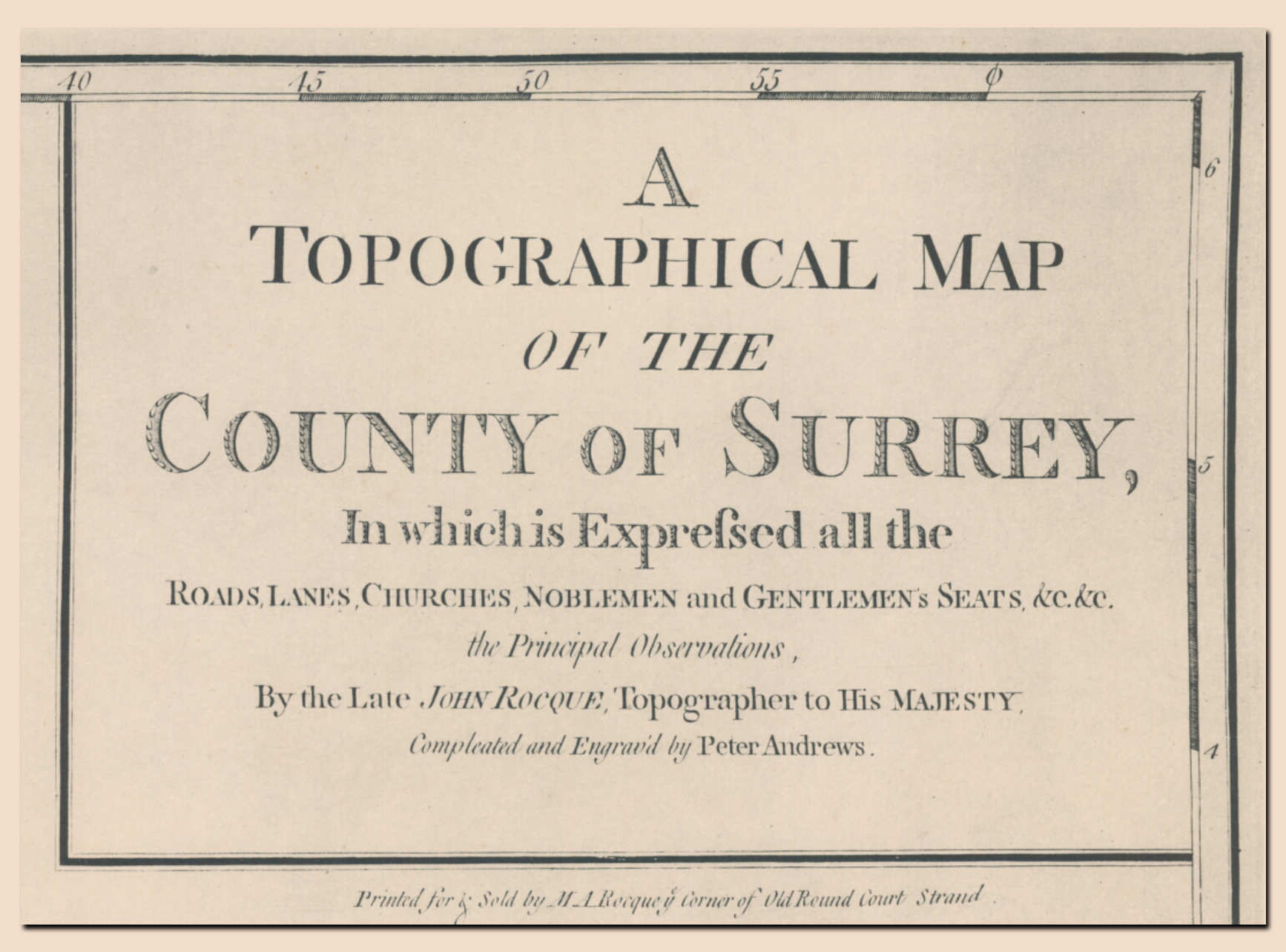
The Map’s title
The Map’s explanation panel
Preface to the map
Full-sized view →
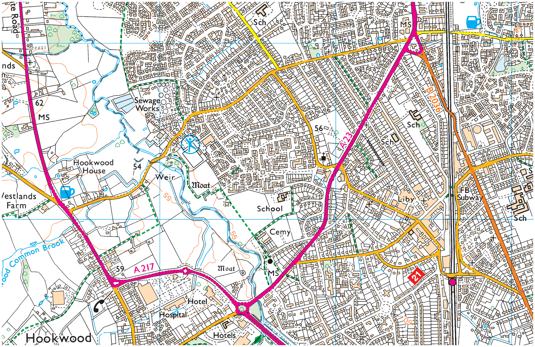
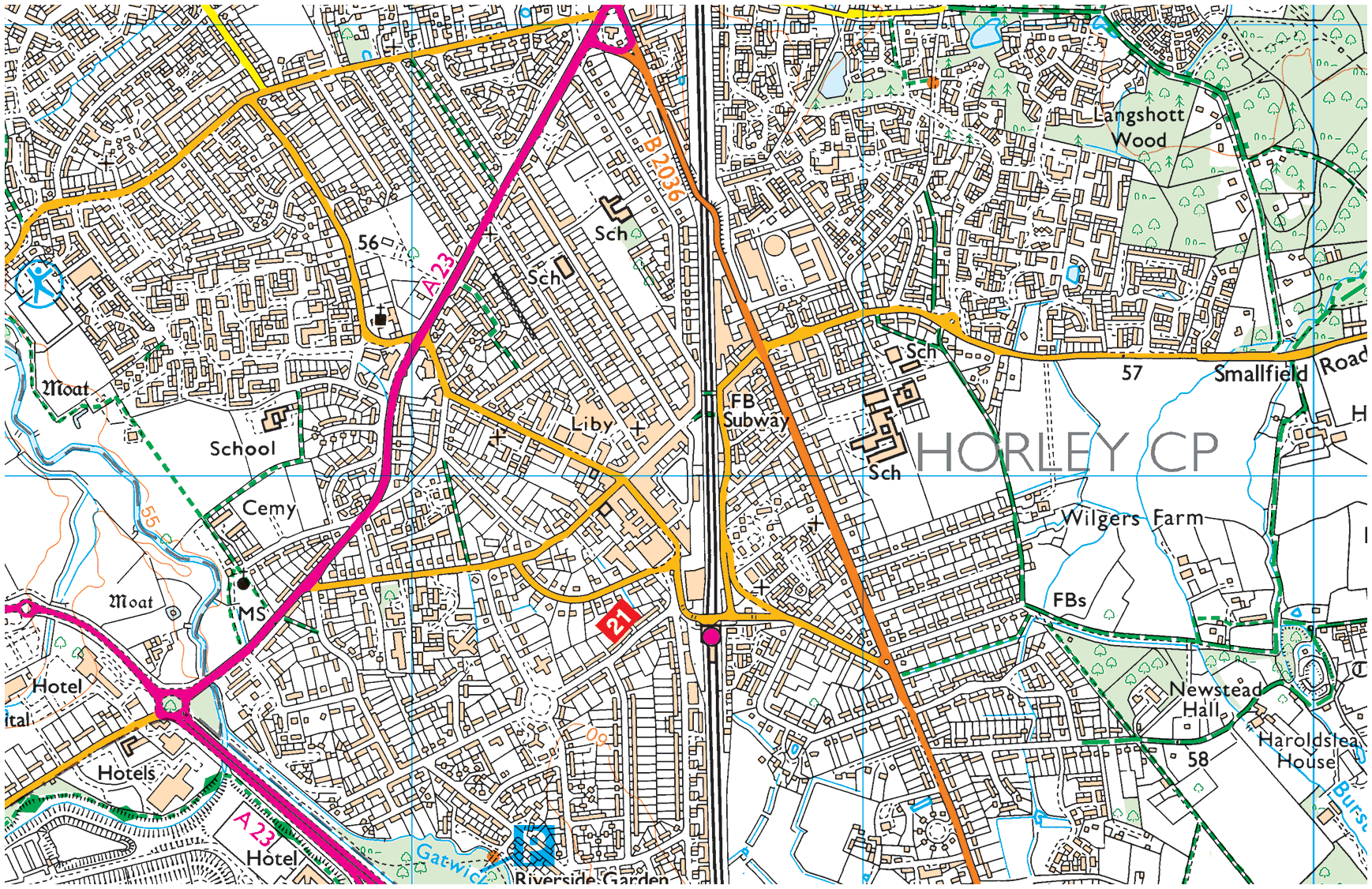
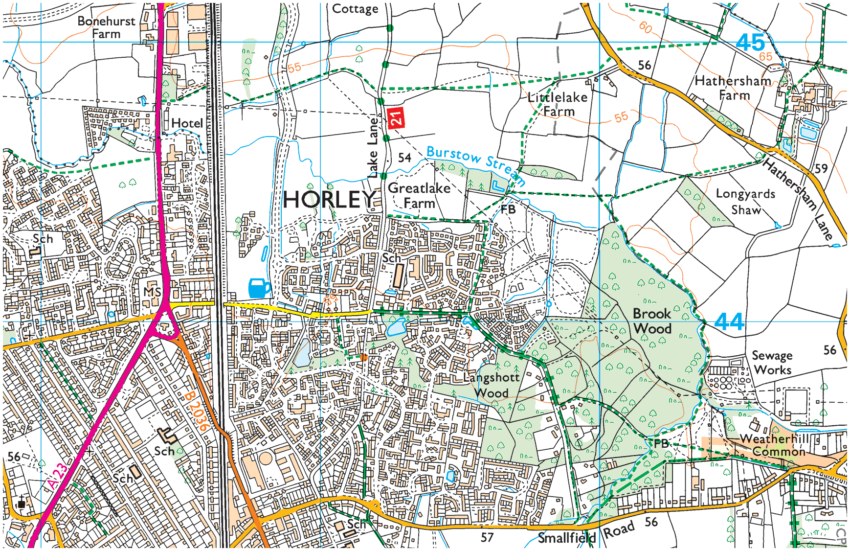
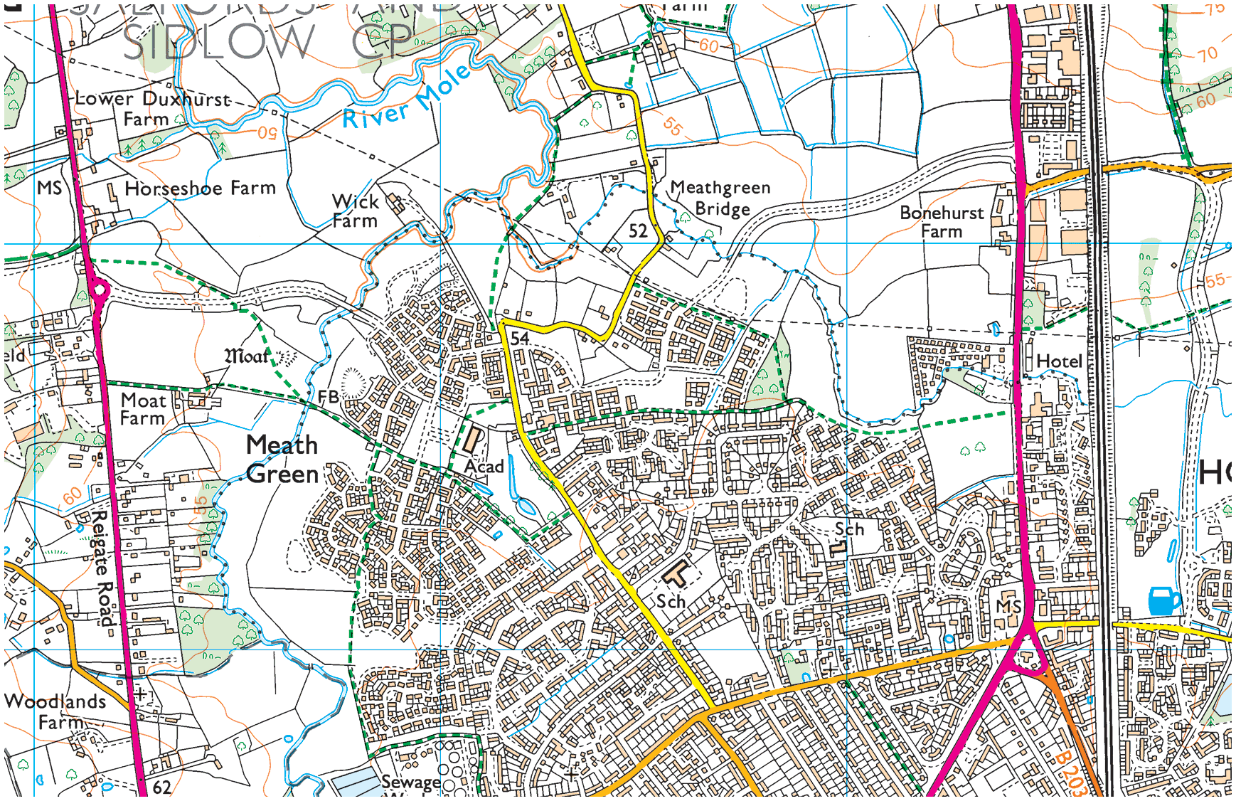
Horley & its environs on Roque’s map
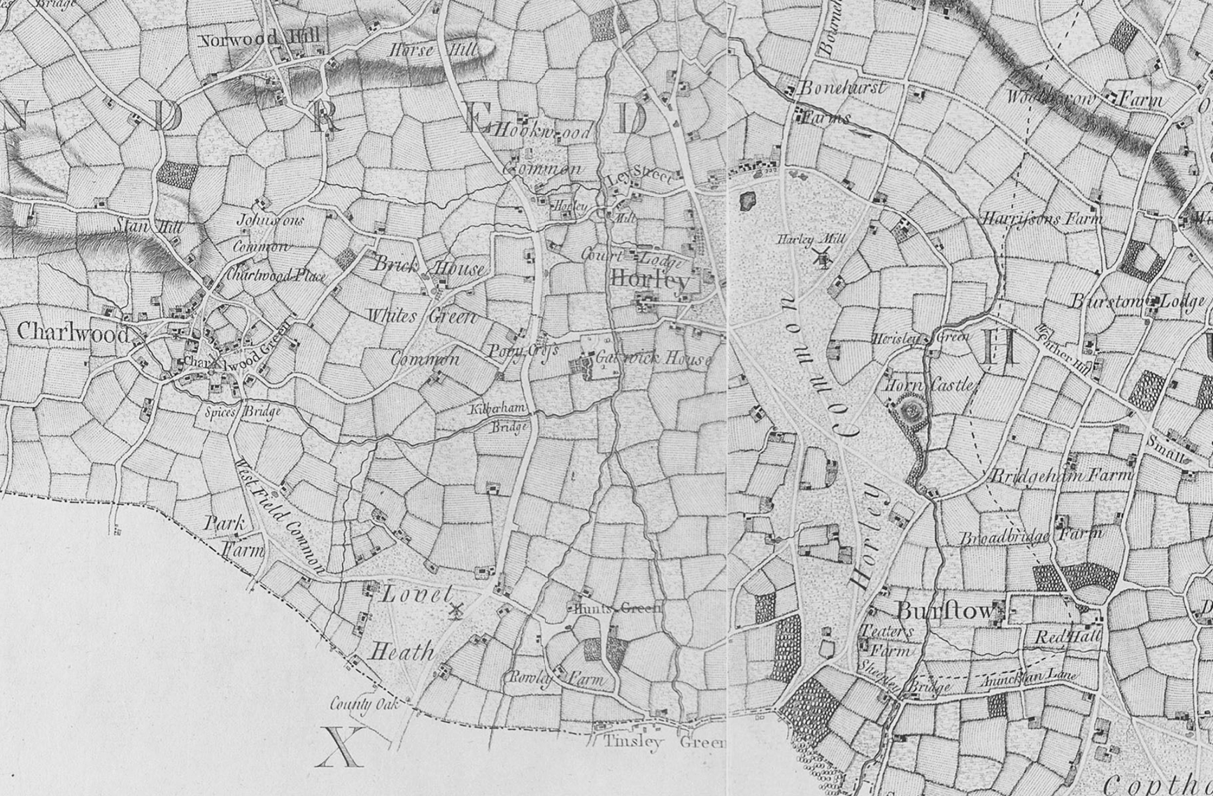
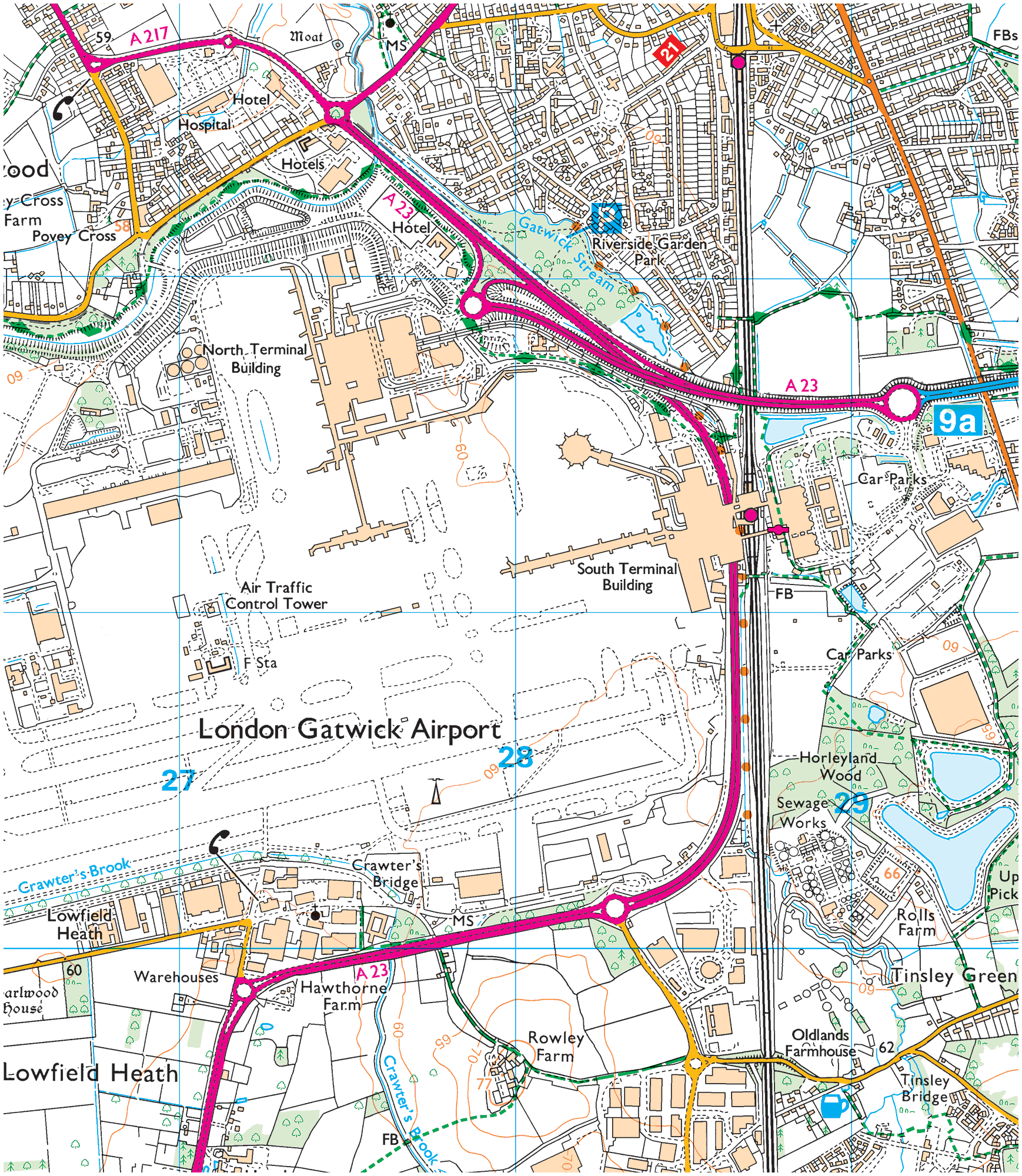
On the map above, Gatwick House and Hunts Green are noted (both were on the land that today comprises Gatwick airport). Of note too is the extent of Horley Common back then and the classification of Horley as a town of sorts too. It is best to expand the map above to gain a better view.
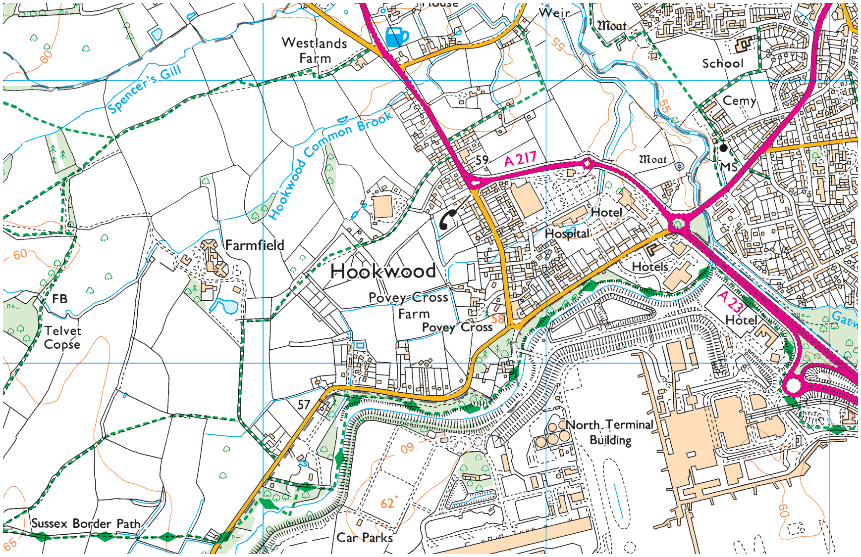
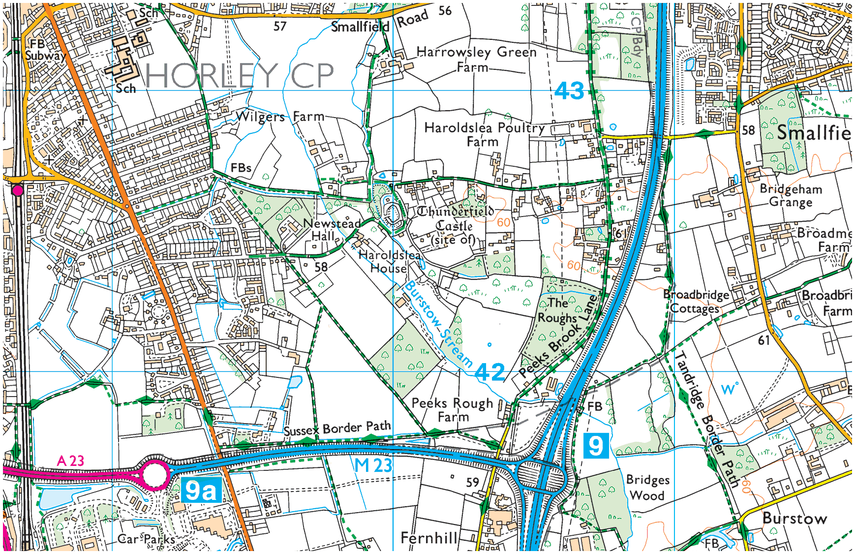
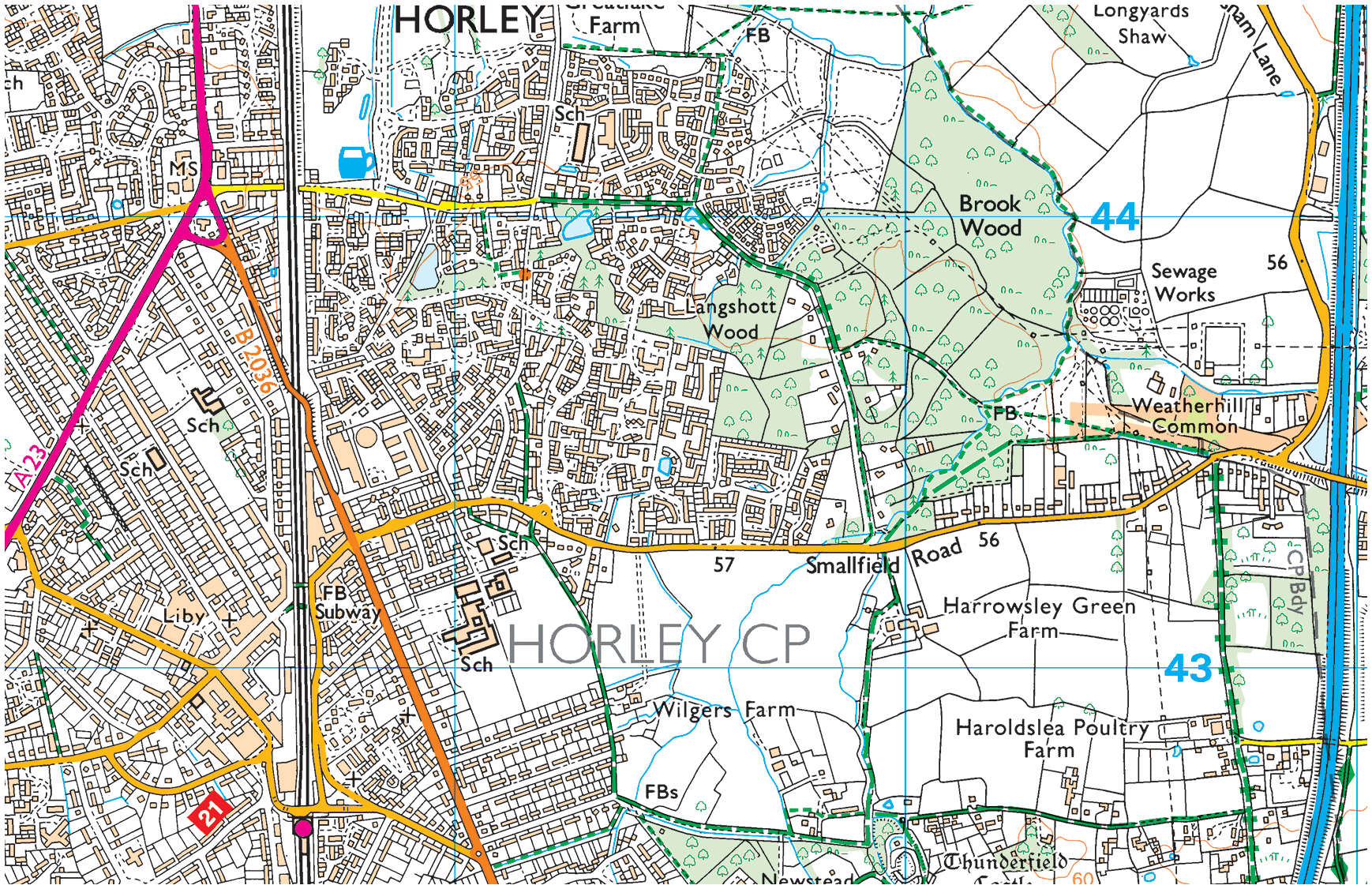
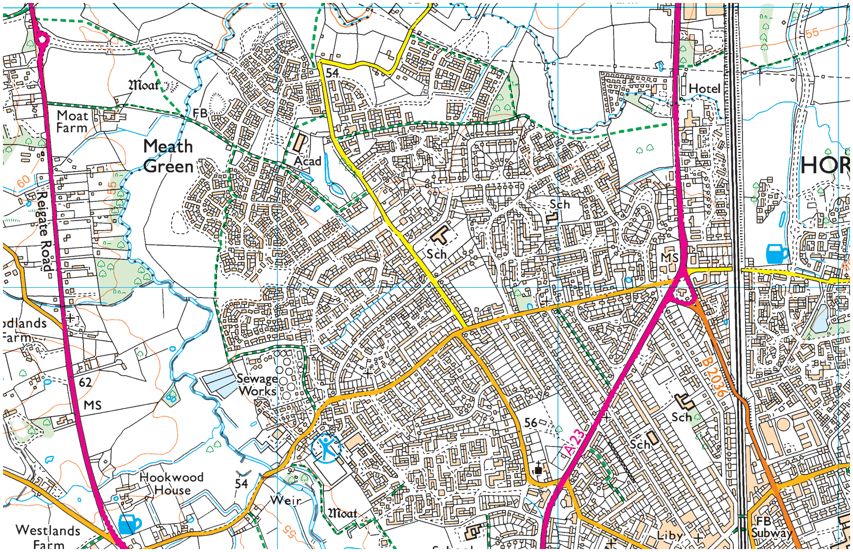
The road dissecting the common is very much in line with today’s Balcombe Road. To the right of that road Horn Castle is noted (more commonly referred to as Thunderfield Moat/Castle today; part of Horley’s Haroldslea neighbourhood) as is Horley Mill and Herisley Green Farm—today’s Harrowsley Green Farm (Grid Ref.: TQ289433). The the left of the road dissecting Horley Common, we see another Horley Mill (water as opposed to wind), Ley street (today’s Meath Green) and Court Lodge Farm (today’s Court Lodge estate). Povey Cross is there too and Brick House, to Povey Cross’s north west, was once a brick factory and today is Tesco Hookwood (Grid Ref.: TQ2709042670).
Lovel Heath is today’s Lowfield Heath (once a village that is now the northern limits of the Manor Royal industrial estate. Burstow’s there and interestingly today’s Shipley Bridge is perhaps more appropriately named Sheeply Bridge (Horley isn’t geographically close to any things maritime).
Plate A:— Horley West
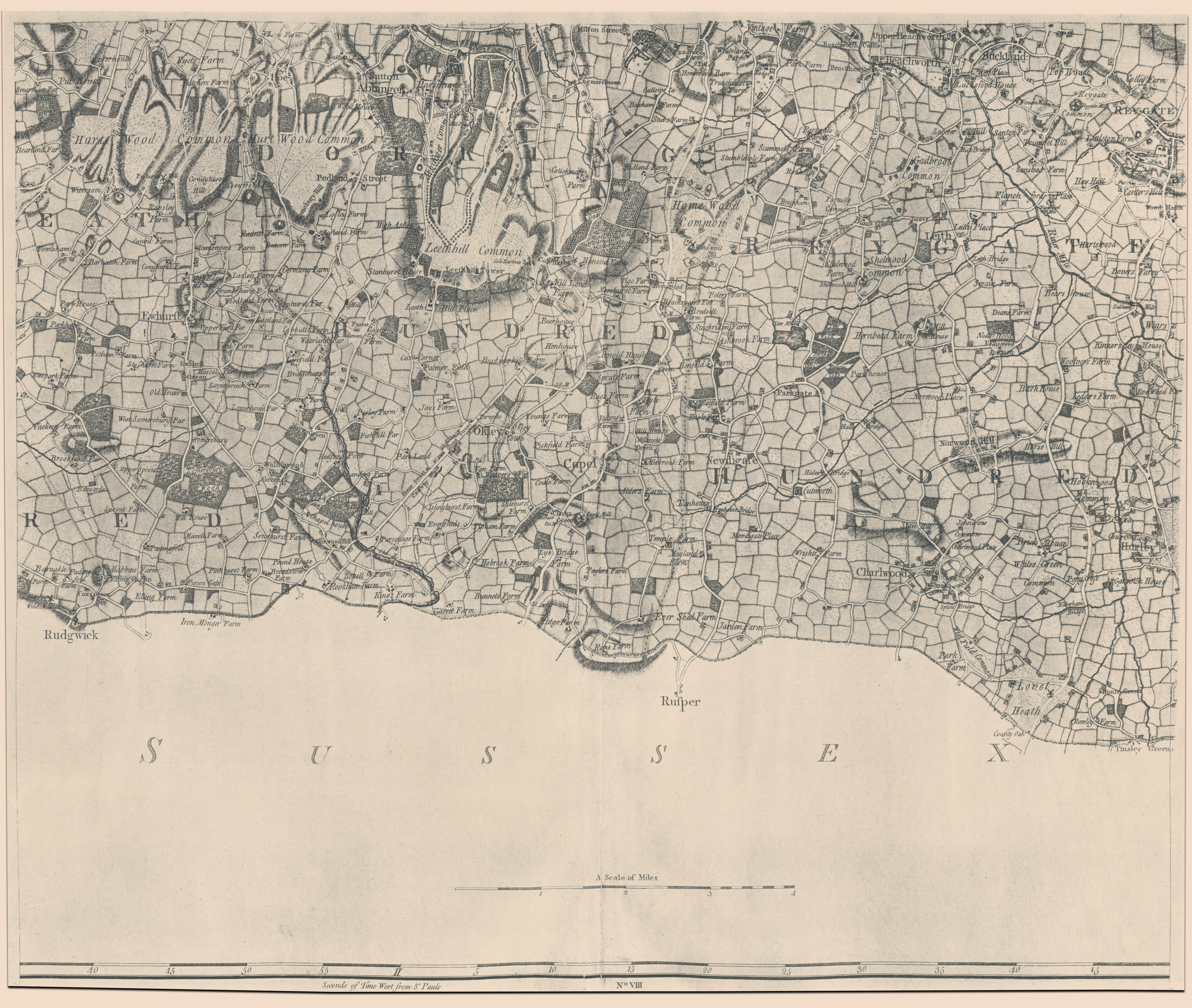
File size: 26 MB / Dimensions: 4219 by 3567 pixels
Plate B:— Horley East
File size: 23 MB / Dimensions: 4219 by 3567 pixels
Contact HH&M
HH&M’s services
- Assembling things →
- Building & Maintenance →
- Decorating & Painting →
- Gardening & Groundworks →
- Moving things →
Get a free quote
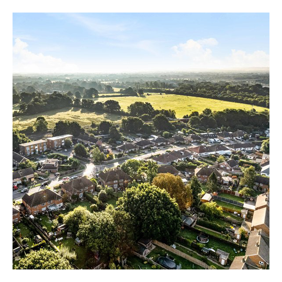
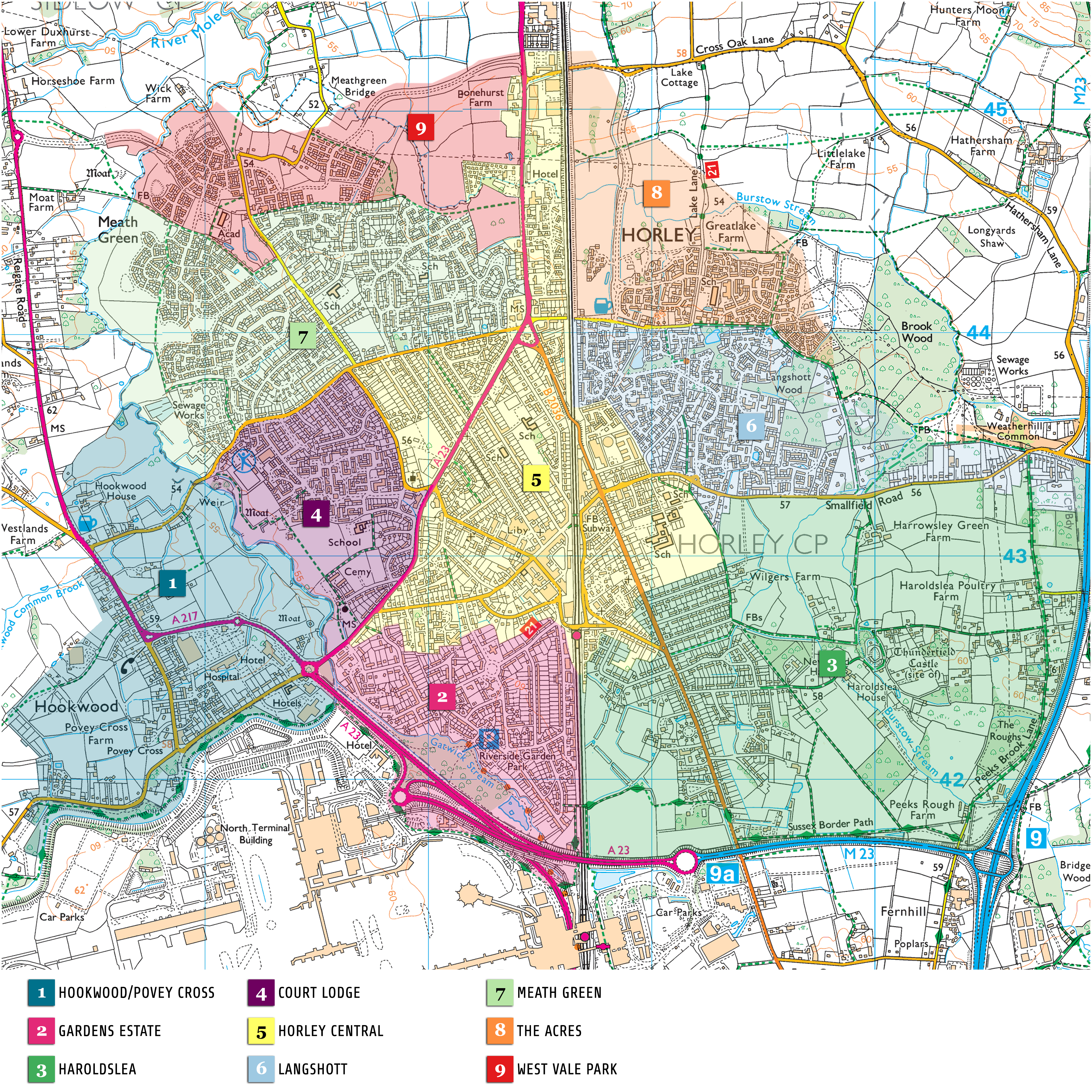
Horley by area
Although Horley does not have named-on-road-sign neighbourhoods—like Crawley does—the following areas are commonly referred to:
01. Hookwood/Povey Cross
Hookwood/Povey Cross →
Hookwood and Povey Cross are on the western outskirts of Horley. Many international hotels are situated here as is Tesco Hookwood. Several large housing developments are planned here. Hookwood and Povey Cross are directly beside the airport.
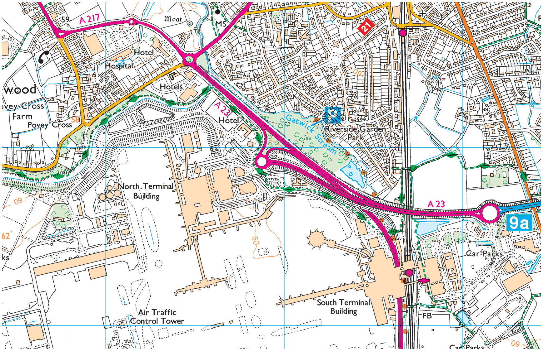
02. Gardens Estate
Gardens Estate →
Gardens Estate is very close to Gatwick airport and those working at LGW can easily access the terminal building via footpaths from the recreational area, Riverside Garden Park via the underpass of Gatwick airport station.
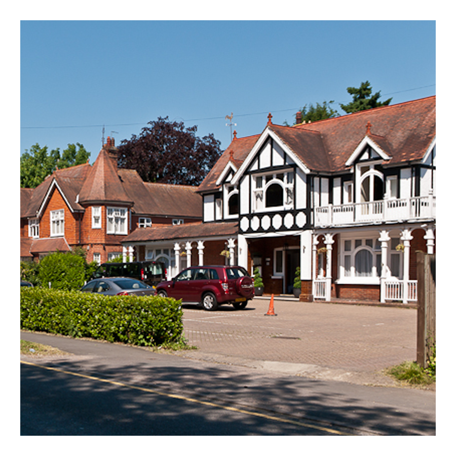
03. Haroldslea
Haroldslea →
This area comprises: The Balcombe Road (B2036) and the roads leading from it between Oakwood School and the A23/M23 link road flyover. For example, Limes Avenue which was originally laid out in 1936 and still retains some of the Lime trees planted at that time.
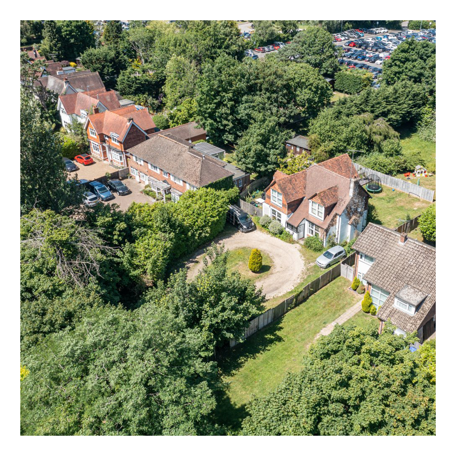
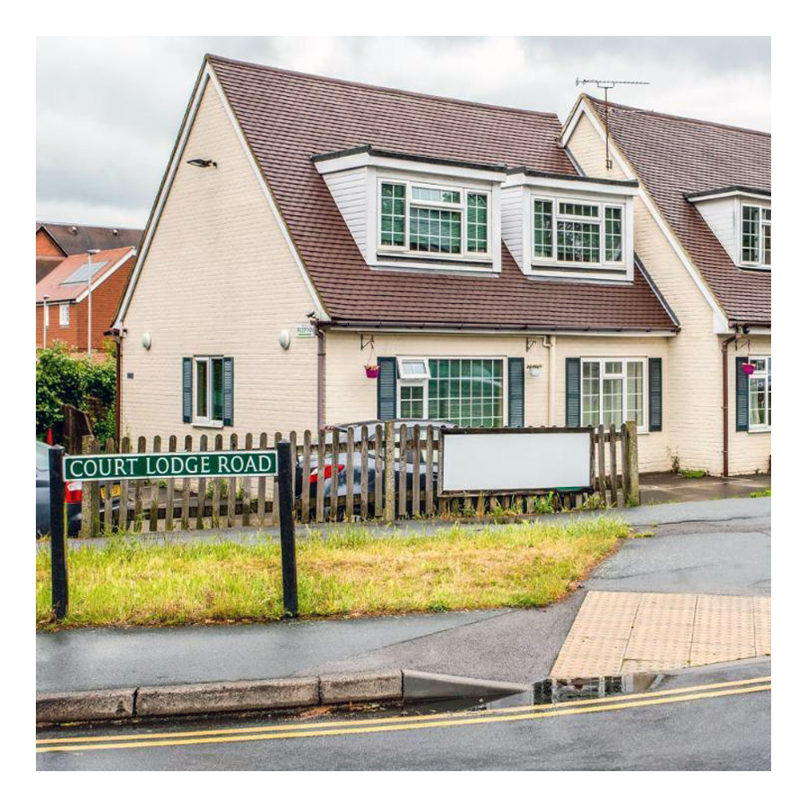
04. Court Lodge
Court Lodge →
This neighbourhood was set out in the 1950s and 1960s. It has a mixture of flats and houses. It is home to Horley leisure centre, several airport hotels and a couple of places of worship.
05. Horley Central
Horley Central →
This area includes the town centre which has quite a lot of purpose built residential flats and roads such as Church Road, Massetts Road, Pine Gardens, Ringley Avenue and, Russells Crescent.
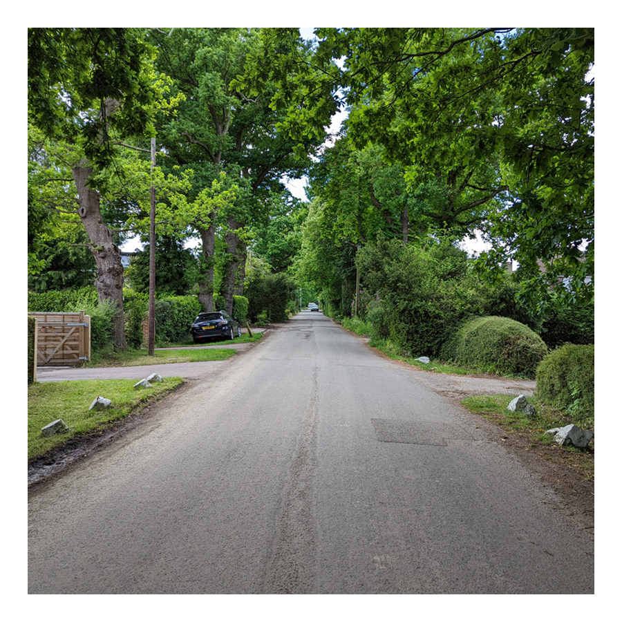
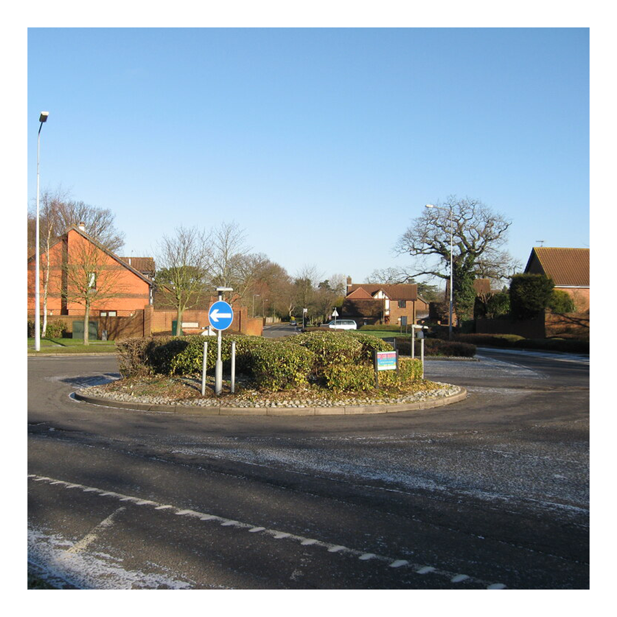
06. Langshott
Langshott →
This area of Horley stretches eastward towards Smallfield. Immediately to its north is the new estate called The Acres. This area is home to Langshott Manor, which was built in 1580; it is now a luxury hotel.
07. Meath Green
Meath Green →
Once upon a time this area was called Moy Grene, and it has some of Horley’s oldest homes. Today, the vast majority of the homes in this area where built from the late 1950s onwards.
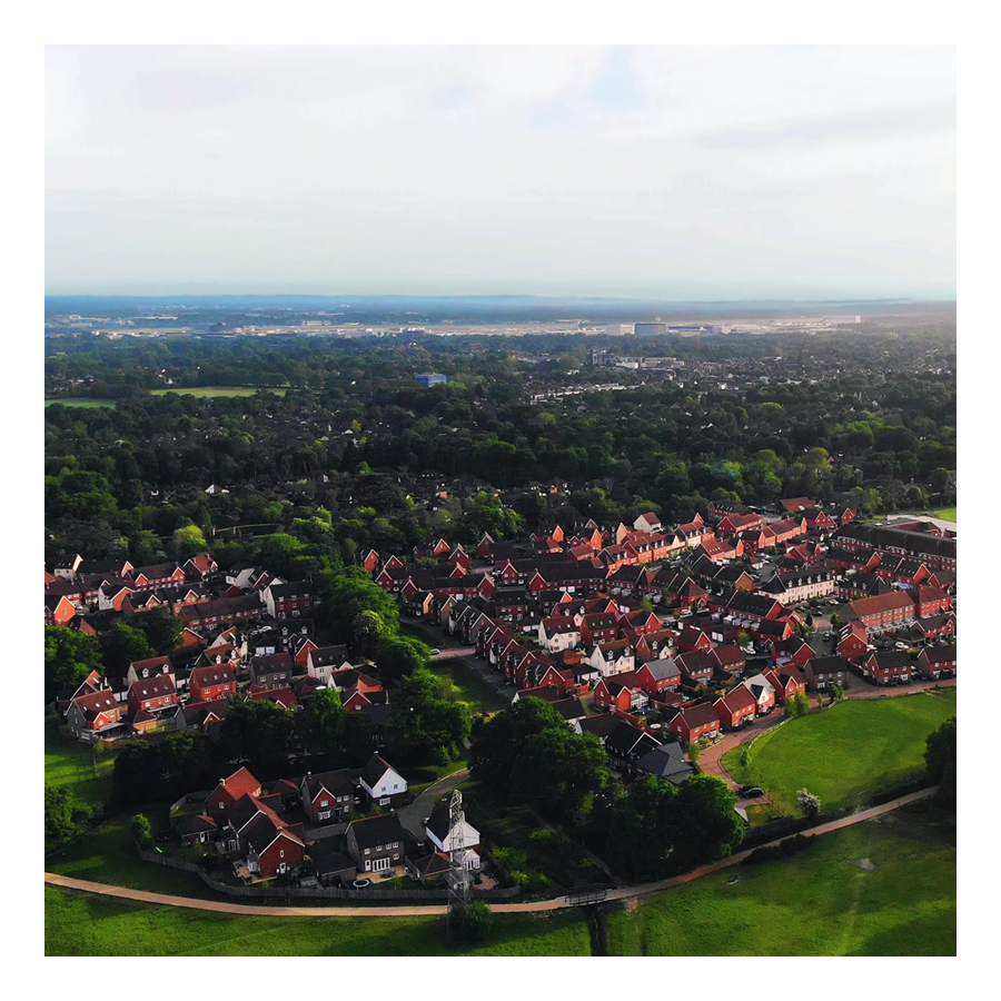
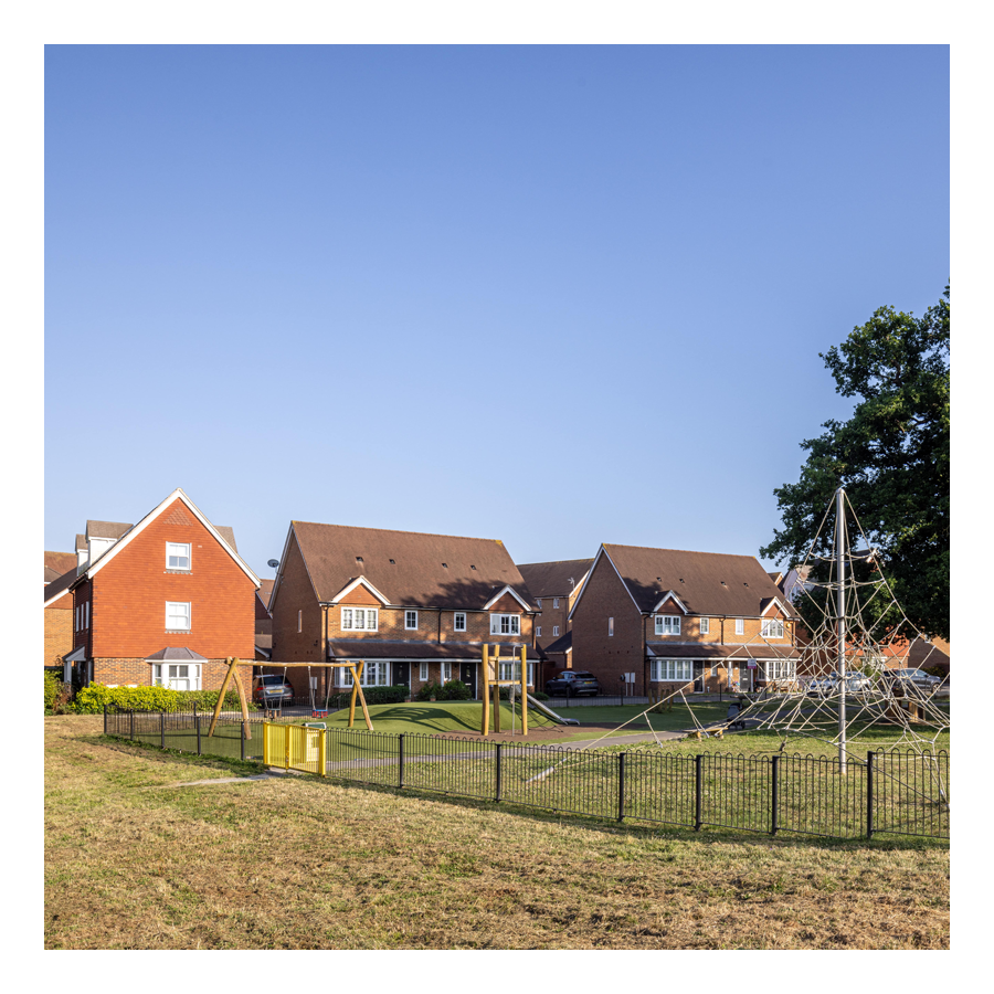
08. The Acres
The Acres →
This new neighbourhood of over 700 homes is in the north east of Horley and Langshott. The development was built mostly by Barratt and Bovis Homes between 2010 and 2016.
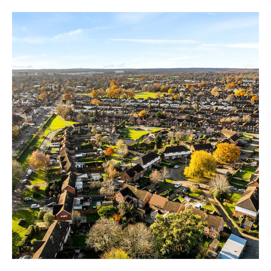
09. West Vale Park
West Vale Park →
This new neighbourhood is to the north west of Horley and joins onto Meath Green. To date, around 1,600 new homes have been constructed:
• Crest Nicholson brochure →
• Fabrica brochure →
• Taylor Wimpey brochure →
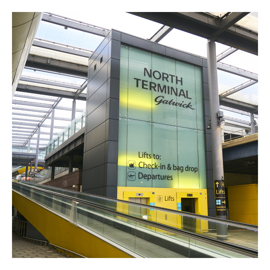
10. Gatwick
Explore Gatwick→
Gatwick airport is included as an area of Horley because historically it was part of Horley and, it remains adjacent to this day. Gatwick, before becoming a major international airport, was a famous horse racetrack which hosted the Grand National on several occasions.
Horley neighbourhoods
Horley Town
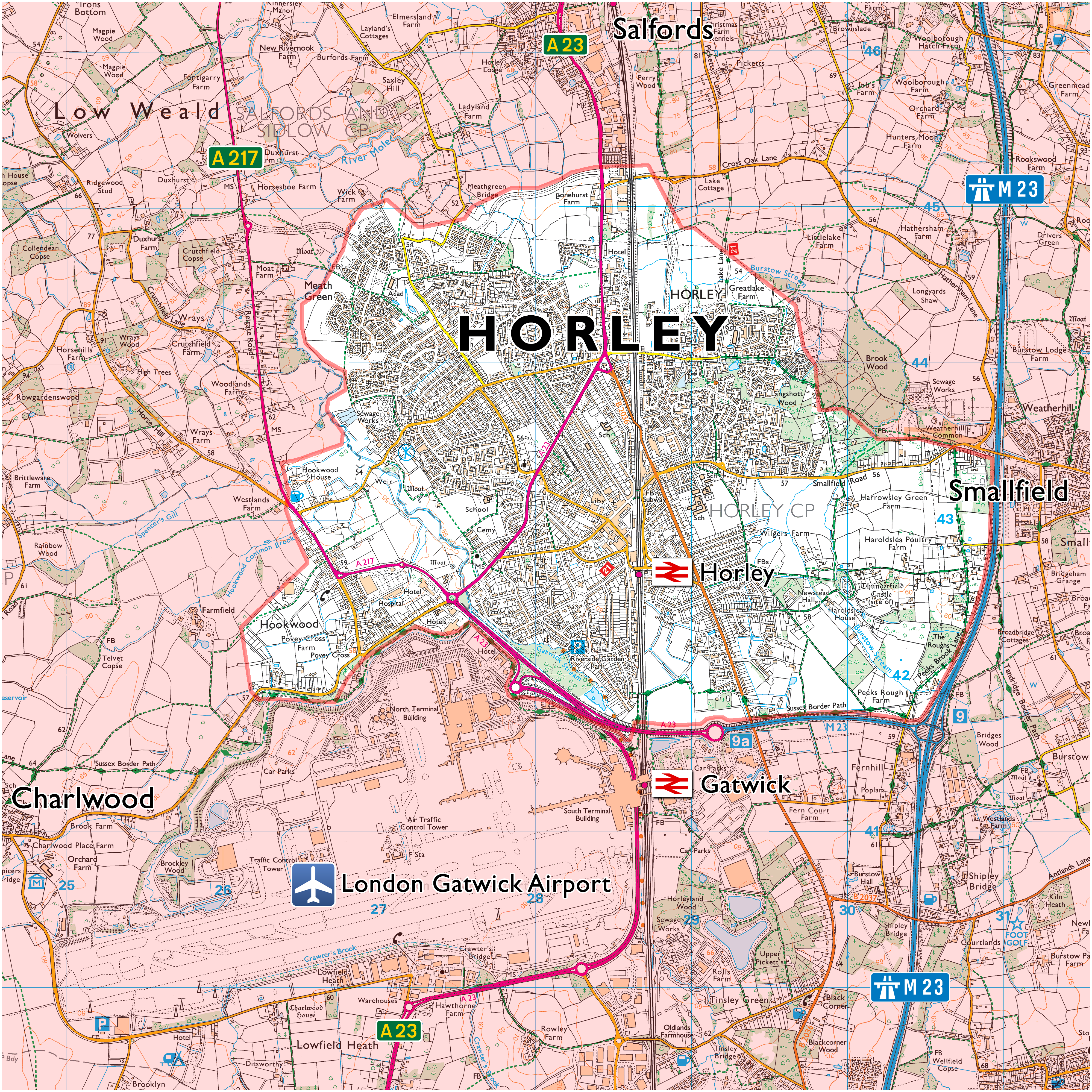
01. Hookwood/Povey Cross
02. Gardens Estate
03. Haroldslea
04. Court Lodge
05. Horley Central
06. Langshott
07. Meath Green
08. The Acres
09. West Vale Park
10. Gatwick